Risk precaution
Risk precautions are those measures and actions implemented in advance to prevent new risks or to prevent them from developing and intensifying. Such risk precaution can happen from individual to political decision levels reducing danger and identifying vulnerabilities early on.
Flood protection and water resource management
Risk management and climate risks
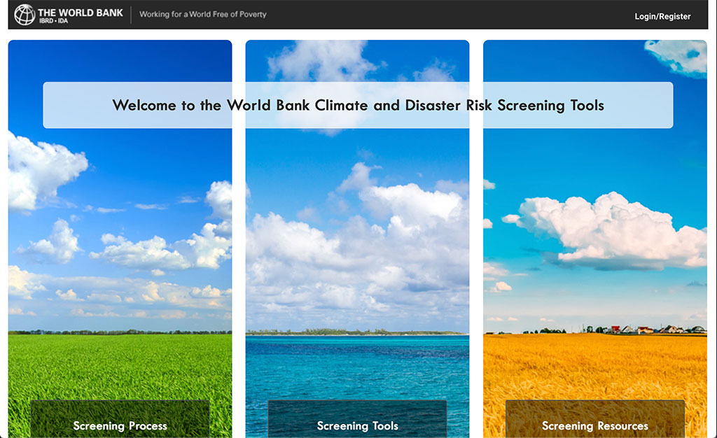
Risk Screening Tool
Climate change and disasters pose a growing threat to development. The tool helps development professionals to screen for climate change and disaster risks during project preparation and sectoral- and national-level planning.
Institution: Worldbank
Language: English
Type of material: Screening Tool/ Decision support tool
Target audience: (Political) professionals
Suitability evaluation:
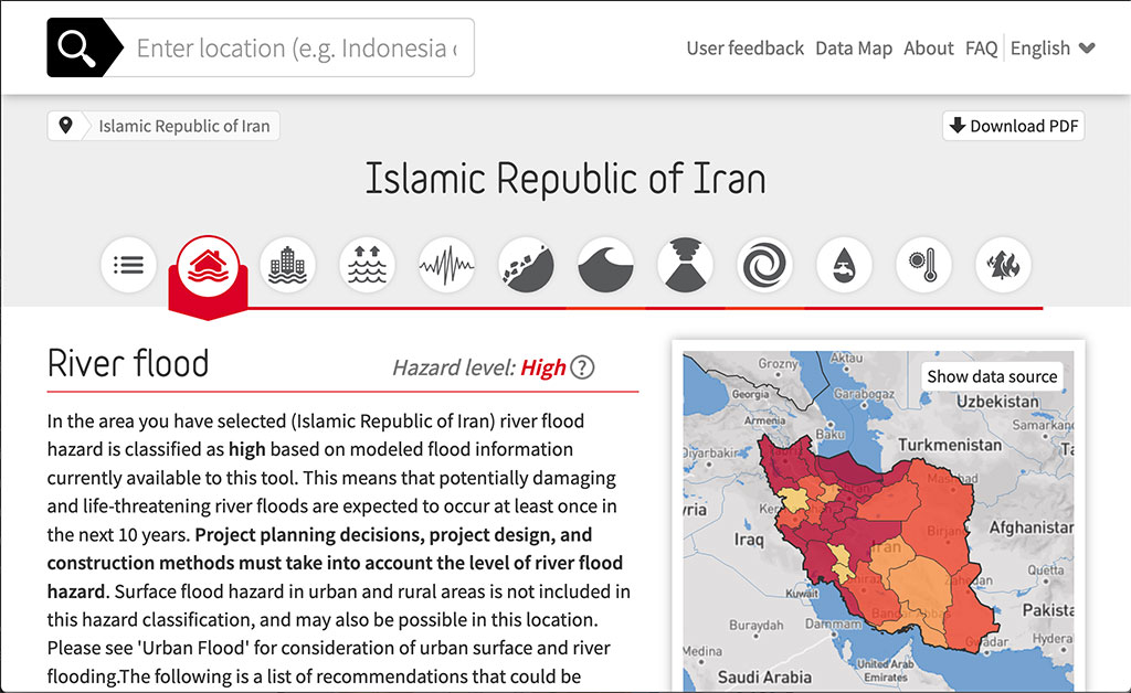
Natural Hazard Tool
This is a new web-based tool enabling non-specialists to consider the impacts of disasters on new development projects. Users can quickly assess the hazard of i.e. river flood within their project area to assist with project planning.
Institution: GFDRR
Language: English, French, Spanish
Type of material: Screening Tool/ Decision support tool
Target audience: Professionals
Suitability evaluation:
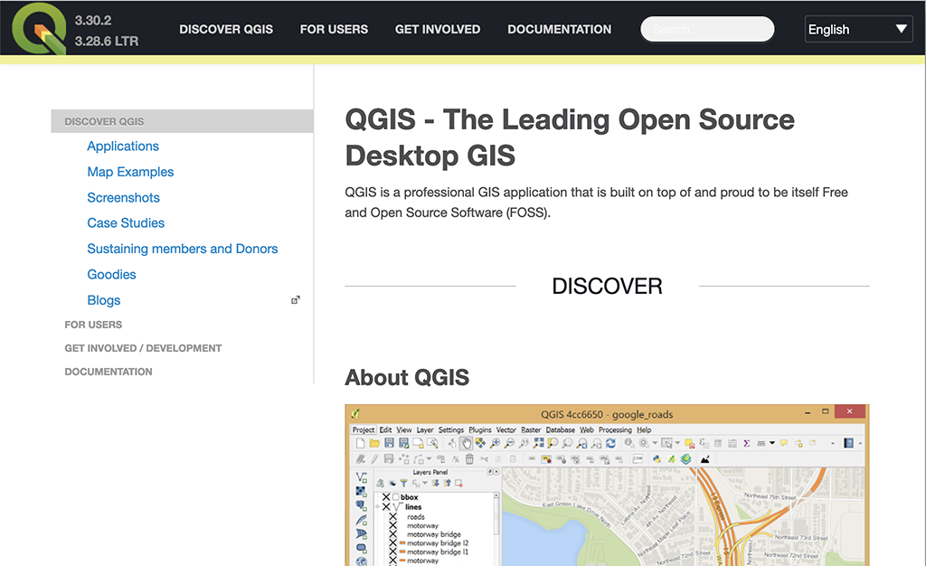
QGIS
QGIS is an open source software that is used to create, edit, visualize and publish geospatial information. It can be used for spatial analysis to flood risk assessment.
Institution: QGIS
Language: English
Type of material: Software
Target audience: Professionals
Suitability evaluation:
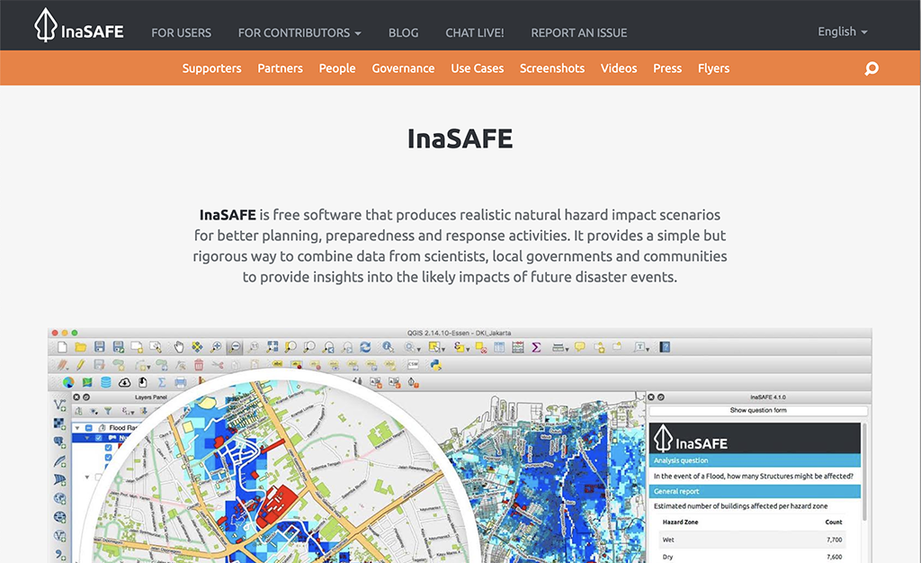
InaSAFE
InaSAFE is an open source software that can be used to produce natural hazard impact scenarios. It enables better planning for natural hazards as data from scientists, local governments and communities can be combined to arrive at a hazard impact assessment.
Institution: BNPB, Australian Government, GFDRR
Language: English
Type of material: Software/ Decision support tool
Target audience: Professionals
Suitability evaluation:
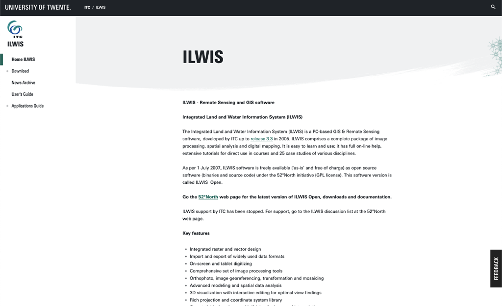
ILWIS
ILWIS (Integrated Land and Water Information System) is an open source software that consists of a package of image processing, spatial analysis and digital mapping. It can be used in hazard, vulnerability and risk analysis.
Institution: University of Münster, University of Twente, The Netherlands, Germany, con terra, Esri
Language: English
Type of material: Software/ Decision support tool
Target audience: Professionals
Suitability evaluation:
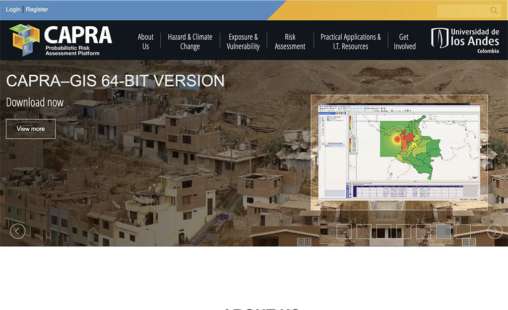
CAPRA GIS
CAPRA is a probabilistic risk assessment platform disaster risk information as well as specialized software applications can be found. Regarding the hazard of flooding they offer 2 softwares namely IT Flood and ERN Flood that allow the analysis of river flooding.
Institution: Universidad de los Andes Colombia
Language: English
Type of material: Software/Decision support tool
Target audience: Government, institutions, private companies
Suitability evaluation:
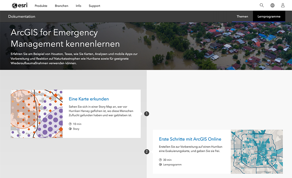
ArcGIS (ESRI)
Geospatial data can be combined, visualized, edited and analyzed using ArcGIS. Using examples the ArcGIS documentation shows how the software can be used for emergency management, predicting floods, etc.
Institution: Esri
Language: English
Type of material: Software/Decision support tool
Target audience: Professionals
Suitability evaluation:

